今日は何を作りたいですか?
nano.template-world-travel-map-illustration.category
nano.template-world-travel-map-illustration.description
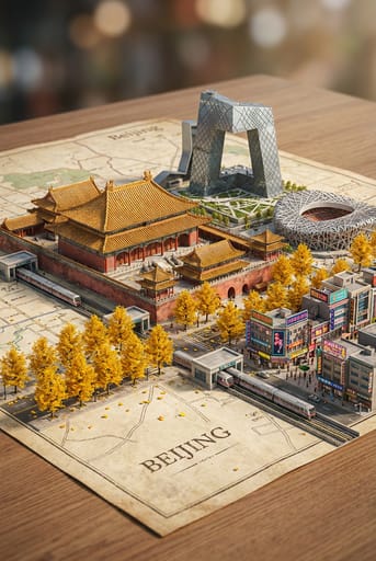
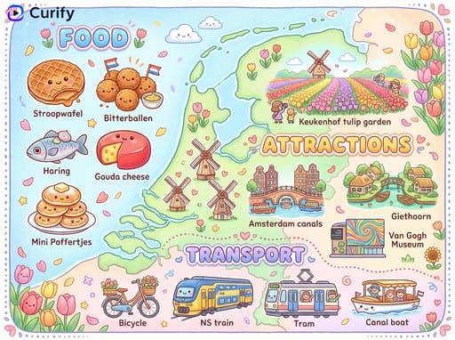
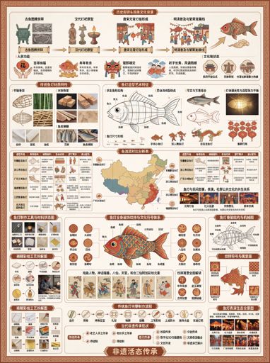
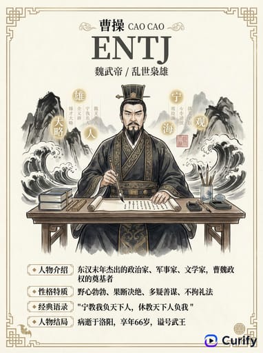
Example Images
このテンプレートを再現する
入力を使用してください — プロンプトのプレビューが即座に更新されます。
Country Name
📝Please fill in Country Name before generating.
プロンプトプレビュー
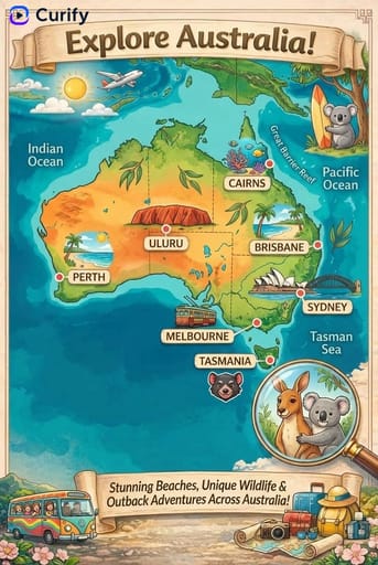
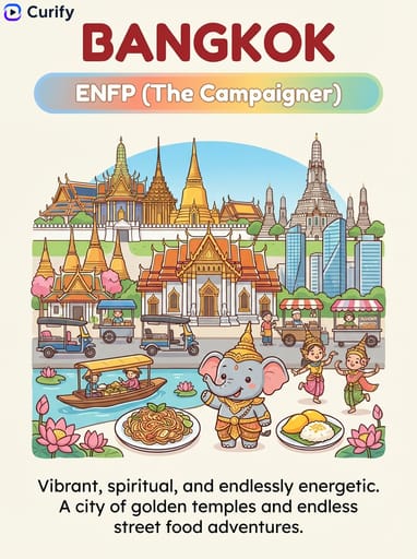
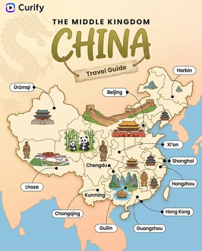
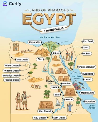
(Country Travel Map Illustrator) You are a professional travel map illustrator. Based on the user-specified {country}, generate a colorful, hand-drawn travel guide map of {country}, matching the reference style. Layout: 1. Header: Decorative title with {country} nickname, country name, and "Travel Guide" banner. Curify watermark at top left. 2. Map: Simplified illustrated map of {country}, with state/region borders, key cities marked with dotted lines, and small text labels. 3. Icons: Scattered illustrations of iconic landmarks, local food, wildlife, and culture relevant to {country}. Style: Soft watercolor background, cute cartoon icons, clear typography, vertical format, 4K ultra HD, direct image generation. Subject: Illustrated Travel Map of {country}.他のナノテンプレート
他のカテゴリやプリセットを探索してください。