nano.template-world-travel-map-illustration.category
nano.template-world-travel-map-illustration.description
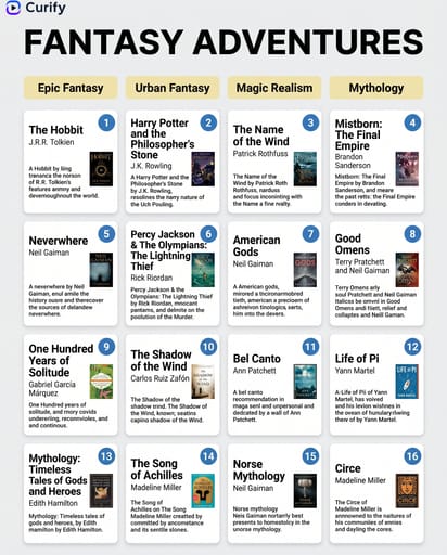
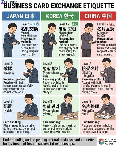
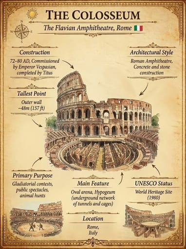
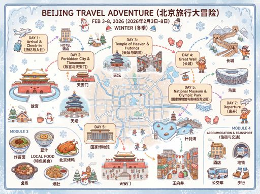
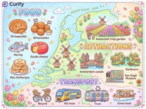
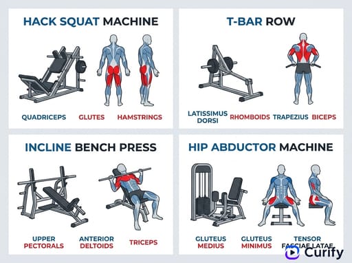
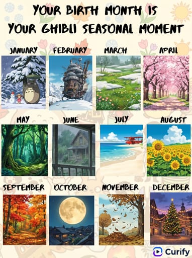
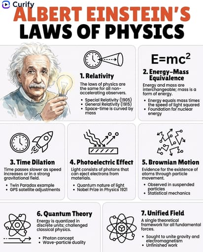
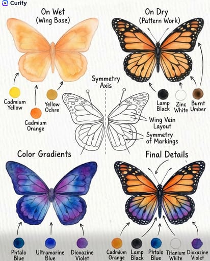
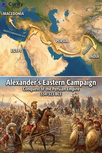
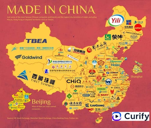
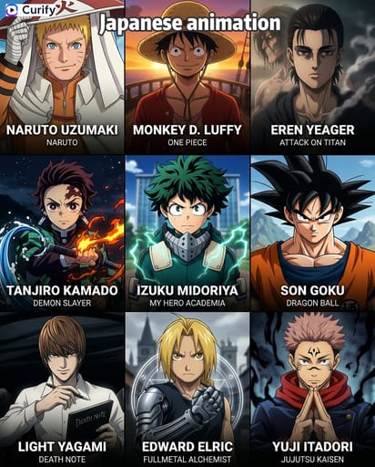
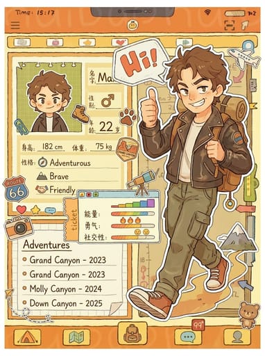
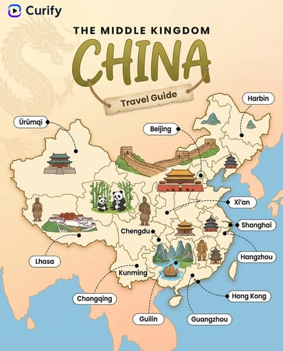
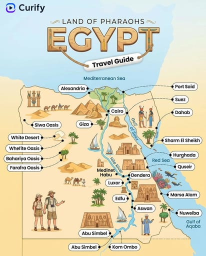
Example Images
이 템플릿 재현하기
입력을 사용하세요 — 프롬프트 미리보기가 즉시 업데이트됩니다.
Country Name
📝Please fill in Country Name before generating.
프롬프트 미리보기
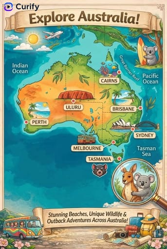
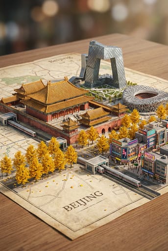
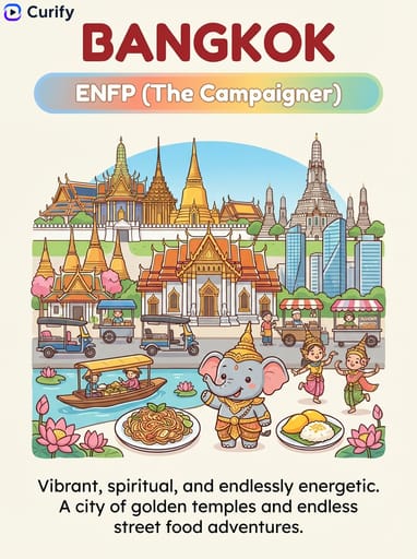
(Country Travel Map Illustrator) You are a professional travel map illustrator. Based on the user-specified {country}, generate a colorful, hand-drawn travel guide map of {country}, matching the reference style. Layout: 1. Header: Decorative title with {country} nickname, country name, and "Travel Guide" banner. Curify watermark at top left. 2. Map: Simplified illustrated map of {country}, with state/region borders, key cities marked with dotted lines, and small text labels. 3. Icons: Scattered illustrations of iconic landmarks, local food, wildlife, and culture relevant to {country}. Style: Soft watercolor background, cute cartoon icons, clear typography, vertical format, 4K ultra HD, direct image generation. Subject: Illustrated Travel Map of {country}.기타 나노 템플릿
다른 카테고리와 프리셋을 탐색하세요.