
Join Curify to Globalize Your Videos
By using Curify, you agree to our
Terms of Service and Privacy Policy
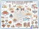
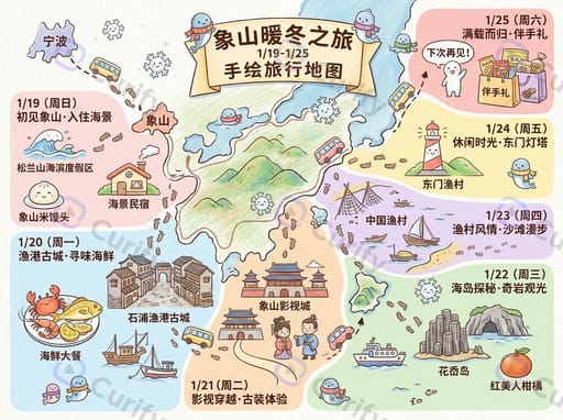
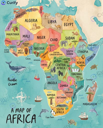
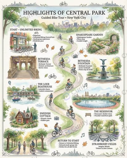
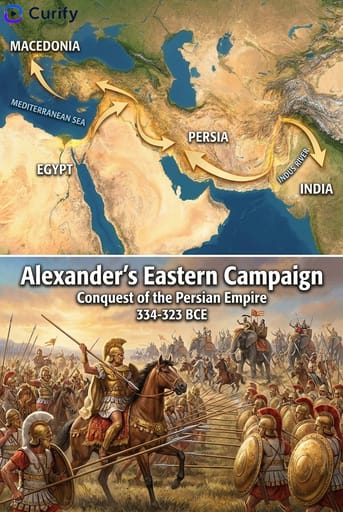
Explore map AI visuals — region landmark maps, whimsical travel maps, historical event maps, and word-origins infographics with spatial layout.
Dive into our collection of map-style AI visual templates — geographic and spatial layouts ranging from 3D region landmark maps to whimsical illustrated travel maps, historical event maps, and word-origins infographics. Whether you're a creator illustrating a journey, an educator visualizing a historical period, or a designer producing tourism-style visuals, these templates give you a fast way to ground content in space. Browse the examples below.

Need the whole Maps set, not just one?
Every Curify template runs in bulk. Send the list — SKUs, words, characters, teams, scenes — and we return the full set generated against one locked visual direction, so the line reads as a collection instead of forty unrelated images.
- Works on any template, not a special few — the same prompt structure applied across your whole list.
- One locked visual direction across the set, so a 40-design line stays on-brand end to end.
- Production-ready output where the format calls for it — die-cut paths, dielines, print resolution.
Templates
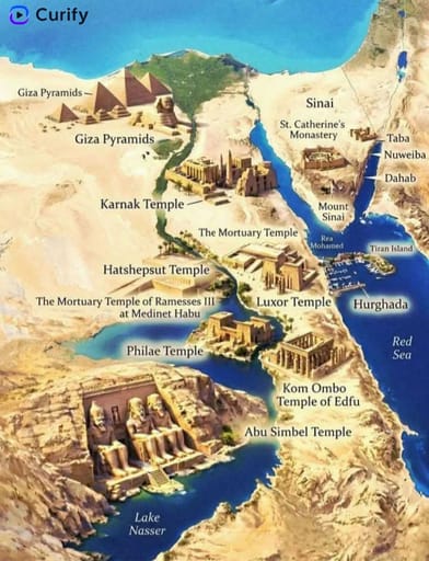
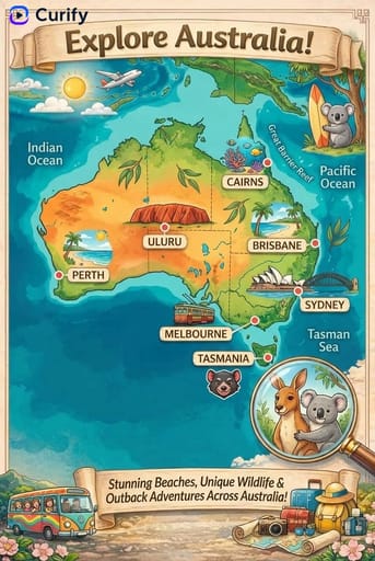
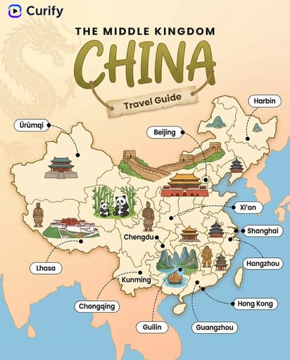
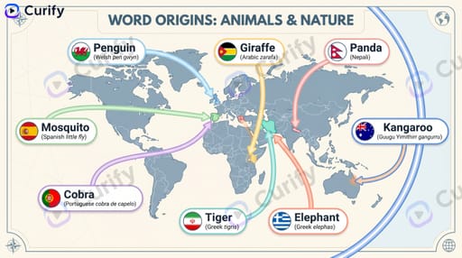

About Maps
Visual maps make a place, route, or region come alive — travel destinations, landmarks, food origins, or itineraries. Curify illustrates a clear, characterful map from your subject.
How to make a visual map
- 1Choose a map template — country, city, landmark, or itinerary.
- 2Enter the place and the points or stops you want to show.
- 3Generate an illustrated, easy-to-read map.
- 4Download as wall art or a shareable travel visual.
What you can make
- Illustrated travel and country maps
- City and landmark map posters
- Itinerary and route visuals
- Food-origin and cultural maps
- Watercolor and vintage map wall art
Map FAQ
- Are these accurate geographic maps?
- They're illustrated, stylized maps meant for storytelling and wall art rather than precise navigation.
- Can I mark my own stops or landmarks?
- Yes — enter the places or route points you want featured and the AI lays them out.
- Can I print a map as wall art?
- Yes, maps export at high resolution suitable for framing and printing.